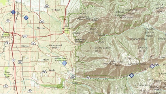
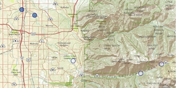
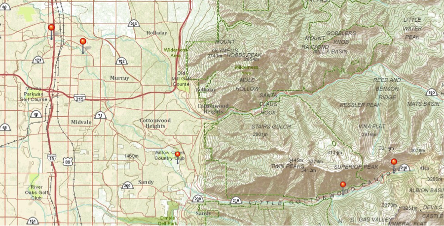
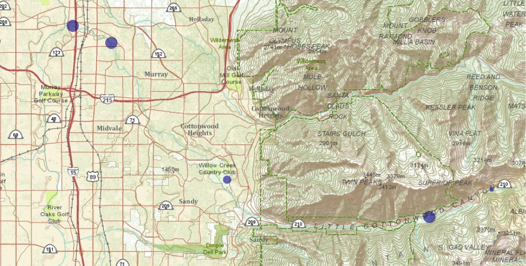
WAter Quality map and Data sheet
the waters tempature
The waters nitrate level

The waters TURBIDITY level
The waters pH level
The waters DISSOLVED oxygen level
Trees in front of Alta high school
Below is a map of trees in North West front of Alta High. I uploaded data we collected from outside and entered it in an excel spreadsheet then uploaded it to CMaP to create this map. the map has 3 different pins. Each pin represents a different characteristic of the tree. The green pin represents circumference, the purple represents the height, and the yellow or blue reprints the type of tree. Click the dots for more info about each tree., it even includes a pic.
This is the same map, but with all the layers SEPARATED.
Green Purple yellow & blue
CIRCUMFERENCE height tree type

CMap project: Scale map of the solar system

k track
We walked a track at Alta High School and tracked a walking path using our GPS. I used a K track and then created uploaded and created a map of the K track.. below you can play with the map I created.
